
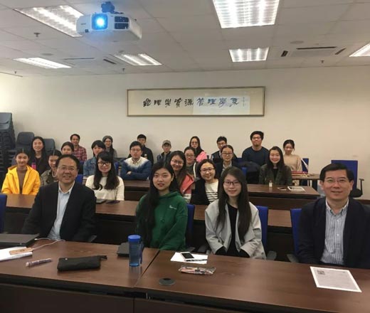
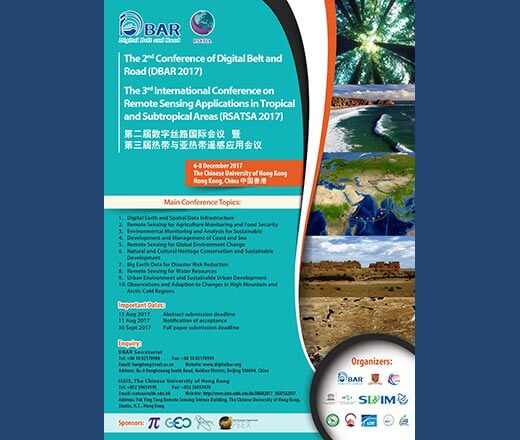
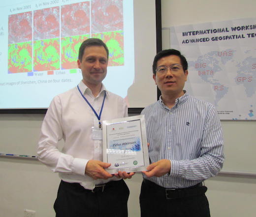
Geoinformation science and smart cities
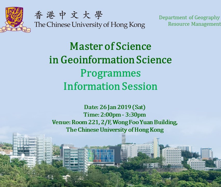
Master of GeoInformation Science and Smart cities was established in 2004 by The Chinese University of Hong Kong (2025 QS ranking #19). It offered by the Department of Geography and Resource Management.
It is an inter-disciplinary field that involves earth science, information science, and system science. Its focuses are the information of the atmosphere, hydrosphere, lithosphere and biosphere and more specifically their formation, changes and interrelations.
Who Should Apply?
Anyone working in geoinformation science and technology and its applications, government agencies and private sectors in Asian countries will find the programme useful. Professionals related to geo-technical engineering, urban planning, natural resource management, environmental monitoring and assessment, disaster monitoring and management, infrastructure and facility management, logistical facility monitoring and information management will find the programme highly relevant to their work.