
Master of GeoInformation Science and Smart Cities was established in 2004 by The Chinese University of Hong Kong (2025 QS ranking #19). It offered by Department of Geography and Resource Management.
It is an inter-disciplinary field that involves earth science, information science, and system science. Its focuses are the information of the atmosphere, hydrosphere, lithosphere and biosphere and more specifically their formation, changes and interrelations.
With the human-land relationship as the theme, with catering for global change research and regional sustainable development as the objective, geoinformation science integrates satellite application, remote sensing, geographic information system, computer-aided design and cartography, multi-media and virtual reality techniques and the internet to establish a scientific structure for high-speed information digitization and effective resource management.
In view of the above-mentioned facts, the present programme is designed to provide a solid conceptual framework and technical know-how for practicing professionals and officials by enhancing their skills and equipping their hands-on experience. It will also introduce the state-of-the-art geo-spatial information technologies and provide students with the capability to manage and apply the latest technologies to solve real life problems.
Introduction

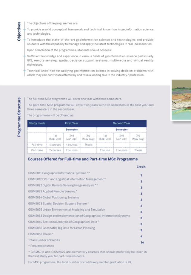
Objectives
To provide a solid conceptual framework and technical know-how in geoinformation science and technologies.
To introduce the state-of-the-art geoinformation science and technologies and provide students with the capability to manage and apply the latest technologies in real life scenarios.
Sufficient knowledge and experience in various fields of geoinformation science particularly GIS, remote sensing, spatial decision support systems, multimedia and virtual reality techniques.
Technical know-how for applying geoinformation science in solving decision problems with which they can contribute effectively and take a leading role in the industry / profession.

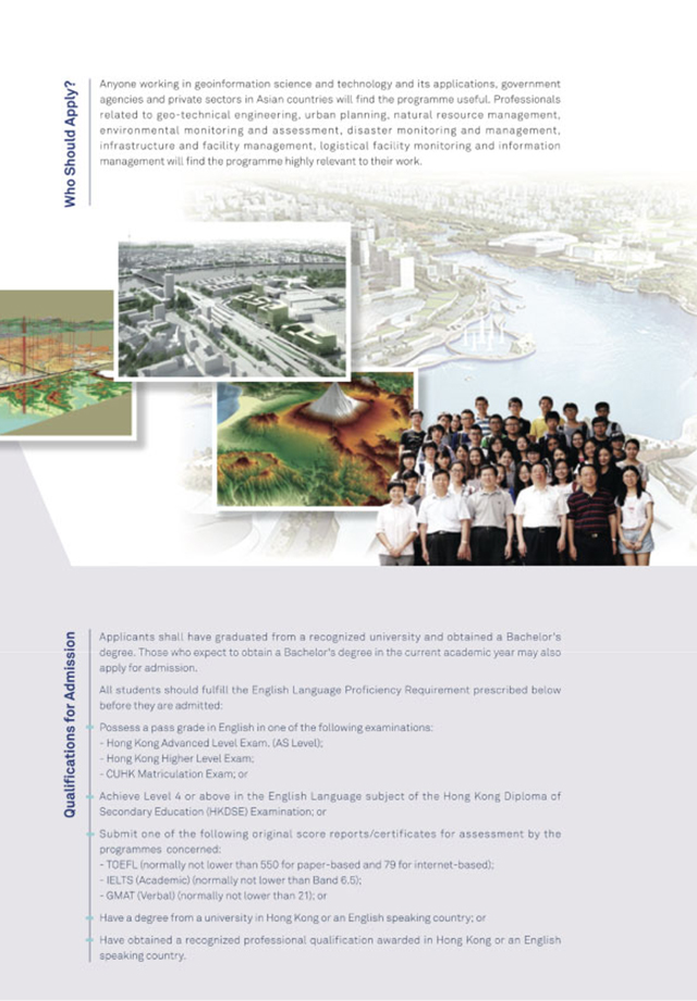
Who Should Apply?

Anyone working in geoinformation science and technology and its applications, government agencies and private sectors in Asian countries will find the programme useful. Professionals related to geo-technical engineering, urban planning, natural resource management, environmental monitoring and assessment, disaster monitoring and management, infrastructure and facility management, logistical facility monitoring and information management will find the programme highly relevant to their work.
Teacher & Supporting Staff
Programme Director
-
Associate Professor, Department of Geography and Resource Management, The Chinese University of Hong Kong
Teachers

-
Professor, Department Chairperson
Department of Geography and Resource Management, The Chinese University of Hong Kong

-
Choh-Ming Li Professor, Department of Geography and Resource Management, The Chinese University of Hong Kong
-
Head, Chung Chi College, The Chinese University of Hong Kong
-
Emeritus Professor, Department of Geography and Resource Management, The Chinese University of Hong Kong
-
Emeritus Professor, Department of Land Surveying and GeoInformatics, The Polytechnic University of Hong Kong
-
Associate Professor, Department of Geography and Resource Management, The Chinese University of Hong Kong

-
Professor. Director of Urban Studies Programme, Department of Geography and Resource Management, The Chinese University of Hong Kong

-
Professor, Department of Geography and Resource Management, The Chinese University of Hong Kong
-
Adjunct Professor, Department of Geography and Resource Management, The Chinese University of Hong Kong
-
Associate Professor, Department of Computer Science and Engineering, The Chinese University of Hong Kong

-
Assistant Professor, Department of Geography and Resource Management, The Chinese University of Hong Kong
-
Assistant Professor, Department of Geography and Resource Management, The Chinese University of Hong Kong

-
Assistant Professor, Department of Geography and Resource Management, The Chinese University of Hong Kong

-
Principal Lecturer, Department of Geography and Resource Management, The Chinese University of Hong Kong
-
Associate Dean (Student Affairs), Faculty of Social Science, The Chinese University of Hong Kong
-
Project Fellow,Department of Land Surveying and GeoInformatics,The Polytechnic University of Hong Kong

-
Adjunct Professor, The University of Hong Kong & The Chinese University of Hong Kong

-
Part-time Lecturer, Department of Geography and Resource Management, The Chinese University of Hong Kong